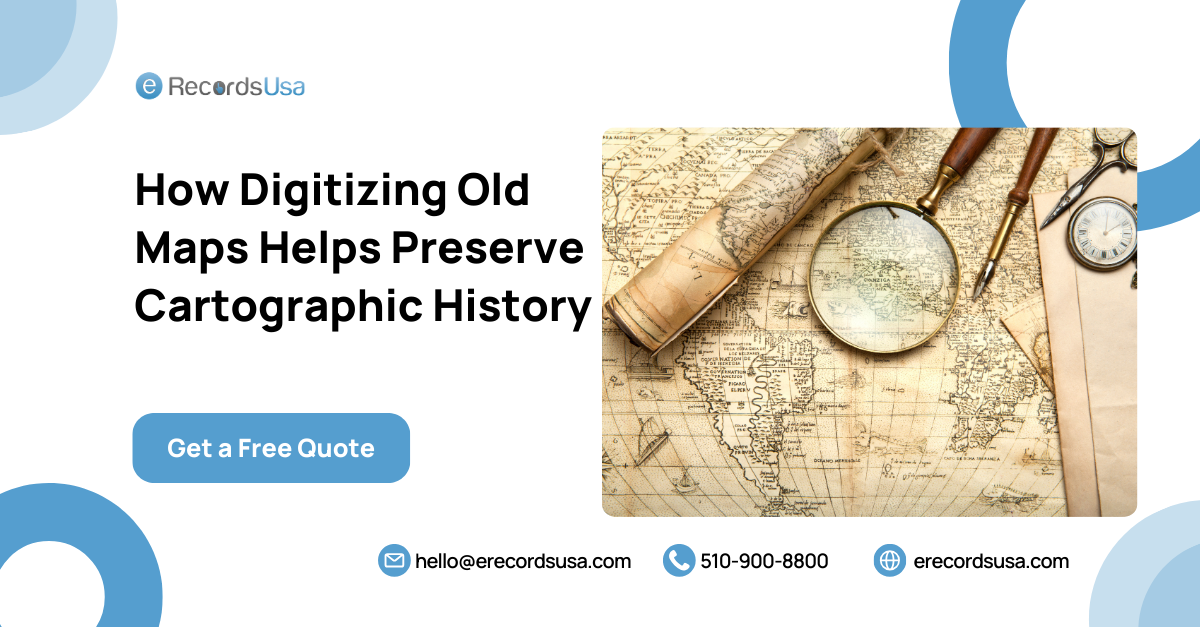
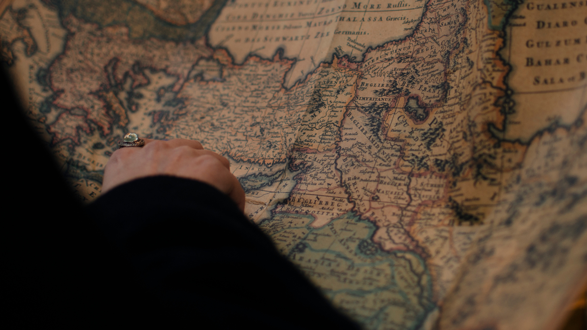
How to Preserve Centuries-Old Maps through Digitization? Are you an archivist, collector, or researcher passionate about historical cartography? The challenge is the same: preserving old, fragile maps while making them accessible for future generations. Over time, paper degrades, ink fades, and rare maps—often stored away—risk being lost forever. Digitizing old maps provides a modern solution. By converting physical maps into digital formats, we can protect their legacy and make them accessible worldwide. Imagine studying a 17th-century navigation chart with just a click, or overlaying ancient boundaries with modern ones using Geographic Information Systems (GIS). However, the digitization journey involves key questions:
- What is the step-by-step process for digitizing old maps?
- Why is digitization essential for cartographic preservation?
- What benefits does it offer researchers and historians?
- What challenges might you face, and how can they be addressed?
In this guide, we answer these questions and provide a clear, step-by-step approach to digitizing old maps. From preservation tips to the best tools available, you’ll find everything you need here.
Did you know that The National Archives has over 13.5 billion pieces of paper, 450 million feet of film, 41 million photographs, 40 million aerial images, 10 million maps, charts, architectural/ engineering drawings, and more than 33 billion electronic records?
Step-by-Step Process to Digitizing Old Maps
Digitizing old maps may seem daunting, but with the right approach and tools, it becomes manageable. Follow this guide to ensure your maps are digitized with precision and care.
1. Assess the Condition of the Map
Begin by evaluating the map’s physical condition. Is it fragile, torn, or faded? Seek professional conservation help if necessary, as improper handling can worsen degradation.
- Pro Tip: Use a lint-free cloth and gloves to prevent oils from your hands from damaging the map.
2. Choose the Right Equipment
High-quality equipment is essential for accurate digitization. Depending on the map size and condition, consider the following options:
- Large-format scanner for oversized maps
- High-resolution flatbed scanner for smaller maps
- Camera setup with stabilized lighting for delicate or oversized maps that cannot be scanned directly
Key Considerations
- Use a scanner with at least 600 DPI (dots per inch) for capturing fine details.
- If using a camera, ensure the map is flat and stable to avoid distortion.
3. Scan the Map
Start by scanning in sections if the map is too large to fit on the scanner. Capture every detail, including borders and notations, as these often hold valuable information.
- Formats: Save the digitized map as a TIFF for archival quality, and create JPEG or PNG versions for everyday access.
4. Post-Processing the Scanned Image
Enhance image quality through color correction, stitching, and de-skewing as needed.
- Color correction: Restore faded colors to match the original.
- Stitching: Use software like Adobe Photoshop or GIMP to combine sections if scanned in parts.
- De-skewing: Align the map if scanning caused any distortion.
5. Georeference the Map (Optional for GIS Applications)
If using the map for geographic analysis, georeferencing aligns it with a modern coordinate system, enabling overlays with current maps in GIS software.
6. Create Metadata for Cataloging
Metadata is critical for making your digitized maps searchable and organized. Include essential details like:
- Title
- Date of creation
- Geographic area
- Source and physical condition
- Scanning resolution and file format
- Pro Tip: Follow metadata standards like Dublin Core to ensure accessibility and consistency.
7. Store and Back Up the Digitized Map
Proper storage and backups are vital to prevent data loss. Maintain multiple copies:
- Local storage: Keep a copy on an external hard drive.
- Cloud storage: Use services like Google Drive or AWS S3 for off-site backup.
- Archival storage: Save archival files in lossless formats like TIFF.
- Pro Tip: Set a regular backup schedule to secure your digital files.
Map Scanning Services for Historical Preservation in San Francisco, CA
If scanning your maps feels complex or you’re working with fragile, historically significant items, consider Map Scanning Services in San Francisco, like those offered by eRecordsUSA. eRecordsUSA specializes in the careful handling and high-quality digitization of historical maps, ensuring their preservation and accessibility. Our comprehensive services cover everything from scanning oversized maps to creating metadata and providing secure storage for institutions and collectors alike.
Why Digitization is Essential for Preserving Historical Maps?
Digitizing old maps goes beyond preservation; it enhances research potential, increases global accessibility, and provides historical insights. Although scanning a map may seem straightforward, digitization has profound, transformative effects for historians, researchers, and institutions.
1. Wider Accessibility for Scholars and the Public
Digitized maps break free from physical archives, allowing scholars, historians, and the public worldwide to access these resources. This unlocks new avenues for research and educational outreach.
- Example: Collections once limited to specific locations are now globally accessible, supporting wider educational engagement.
2. Enabling Detailed Comparative Studies
Digitizing maps allows for the use of digital tools in comparing maps from different periods. Features like Geographic Information Systems (GIS) layering enable researchers to overlay maps, making it easy to analyze changes in geography, boundaries, or land use over time.
- GIS Example: Researchers can use historical maps of Europe to compare shifting political boundaries through digitized overlays, gaining insights into territorial changes over centuries.
3. Long-Term Data Security
While physical storage poses risks of damage or loss, digitization provides a secure backup for maps, preserving them for future generations.
- Pro Tip: Store digital backups in multiple formats and locations, including cloud storage, to protect against data loss or corruption. This is especially vital for rare and fragile maps.
4. Facilitating Multidisciplinary Research
Digitized maps have applications beyond history and geography, benefiting fields like urban planning, environmental studies, and archaeology.
- Example: Archaeologists use digitized maps to identify potential dig sites based on changes in land use, while environmentalists analyze historical topographical maps to study climate impacts over time.
By enhancing accessibility, supporting comparative studies, and providing long-term preservation, digitization ensures that historical maps continue to serve as valuable research tools. This process not only safeguards history but also enables innovative uses that were previously unimaginable.
Benefits of Digitizing Old Maps for Researchers and Historians
For researchers and historians, digitizing old maps opens up countless opportunities. Beyond preservation, digitized maps serve as powerful tools for historical analysis, interdisciplinary research, and public engagement. Here are some key benefits specific to scholars:
1. Enhanced Analytical Capabilities
Digital tools now allow researchers to examine old maps in ways that go beyond traditional visual inspection. With features like zooming into fine details, applying filters, and using algorithms to detect patterns, digital analysis revolutionizes how historical maps are studied.
2. Cross-Referencing with Modern Data
Digitized maps can be cross-referenced with current datasets to reveal valuable insights. By comparing old maps with modern data, historians can explore changes in urban development, geographic boundaries, and agricultural trends, shedding light on how human activity has reshaped landscapes over time.landscapes over time.
3. Collaborative Research Opportunities
Digital maps are shareable worldwide, enabling collaborative research across institutions, scholars, and historians. This ease of access promotes collective analysis and knowledge-sharing, often leading to breakthroughs that isolated research could not achieve.
4. Public Engagement and Education
Digitization of old maps benefits not only academics but also the public. Online access to maps fosters greater public interest in history. Interactive exhibits, virtual timelines, and educational videos created from digitized maps make historical research more engaging and accessible to broader audiences.
5. Preserving Research Integrity
Old maps often include detailed notes and annotations from mapmakers or previous owners. Digitization preserves these valuable insights in their original form, allowing historians to study these annotations in detail and ensuring the integrity of primary source materials.
- Pro Tip: To maximize the benefits of digitized maps, consider using open-access platforms and collaborative databases where researchers can contribute their findings. This accelerates research and enriches collective understanding by fostering new insights that individual studies might overlook.
Bring Your Maps to Life Digitally with eRecordsUSA
By choosing eRecordsUSA, you are not only preserving your maps but also unlocking their potential for future generations. Our expertise, advanced technology, and commitment to quality make us a trusted partner for preserving cartographic history.
- Expert Handling of Fragile and Historical Maps: Our team understands the unique requirements of handling fragile, historically significant documents. We use specialized, non-invasive techniques to digitize maps without compromising their condition.
- High-Resolution Scanning Technology: eRecordsUSA employs state-of-the-art scanning equipment capable of high DPI (dots per inch) resolution, ensuring clarity and detail that support accurate study and display. Our technology captures every detail, creating a faithful digital archive.
- Custom Metadata for Easy Organization: We offer comprehensive metadata creation, allowing you to tag and organize your digital maps by title, date, region, and other important details. This makes your collection easily searchable and accessible for future reference.
- Secure Digital Storage and Backup Options: In addition to digitization, we provide secure storage solutions to protect your digital files. With options like cloud storage, encrypted archives, and backup services, your data remains safe and accessible at all times.
- Compliance with Industry Standards: eRecordsUSA follows strict data handling protocols to meet industry regulations and archival standards, ensuring your digital files are secure and preserved for long-term use.
- Enhanced Collaboration and Accessibility: Digitized maps can be shared and accessed globally, allowing researchers, archivists, and institutions to collaborate easily. We make your cartographic heritage accessible for educational projects, public exhibits, and research initiatives.
Digitize your maps with eRecordsUSA to preserve them in pristine digital formats, ready for research, display, or archival use. Contact us today to keep your cartographic history alive and accessible for future generations.


